« Australia 2010, Part 3: At James & Ali's | Main | Australia 2010, Part 4b: Western Australia »
October 08, 2010
Australia 2010, Part 4a: Western Australia
And now, finally, to conclude my recap of my trip to Australia back in August. I've been working on this post off and on for several days now. Click here to go back to Part 1, Part 2, or Part 3. In this post I've also included some travel tips for driving in Western Australia that I learned along the way. Bob & I fit about five days of sightseeing into just three, so it was a whirlwind trip through W.A.!
Mon 16 Aug
Ali drove me to the Melbourne airport in the morning (opposite sides of the city, during morning peak hour) so that I could catch my flight to Perth. Even on domestic flights, Qantas is far superior to any U.S. airline. No bag fees, no fees for in-flight food/drinks, and they gave me an ice cream cone too! It's almost like they're glad to have customers. Imagine that.
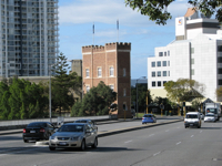
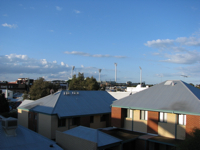
When I landed in Perth at midday it was about ten degrees (F) warmer than in Melbourne, and it was actually sunny too. A very nice change. I took a couple city buses from the airport to the stop nearest Bob's apartment, where he met me. Bob is a friend of mine from Penn State who worked as a forecaster at AccuWeather for a few years, but moved to Australia in early July to take a job as a forecaster at the Bureau of Meteorology in Perth. When I got there, he had only recently moved into his new apartment in the suburb of Subiaco (just a stone's throw from the Subiaco Oval, where Australian football's West Coast Eagles and Fremantle Dockers play), and quite a few boxes of stuff that he shipped to Australia had just arrived, so I spent some time helping him unpack and get things set up.
 |  |
We went out to eat that evening at a local pub for dinner, and we got two pints -- at a total of $19. Yikes. $10 pints? For $10 I can get two pitchers in State College! As Bob said, "I don't know how people can afford a night out at the bars in Perth." Beer was really pricey pretty much everywhere in W.A.
Tue 17 Aug
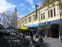
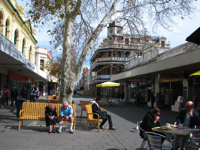
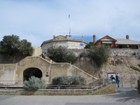
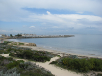
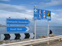
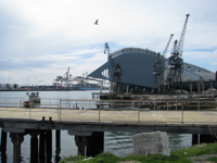
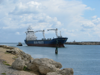
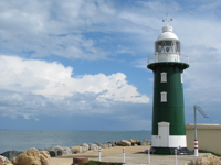
Bob had to work at 5:30am, so I had most of the day to myself. Mid-morning I took a couple of trains over to another suburb and then walked to Hertz to pick up a rental car (my friend James had gotten me another great discount!). From there I drove down to the coastal city of Fremantle. Residents of Freo will get very annoyed if you call Fremantle a suburb of Perth, because they view themselves as a separate city with a separate identity. Fremantle is a port city at the mouth of the Swan River, while Perth sits 20 km upriver. Anyway, Fremantle is quite a charming small city, with a vibrant business district on a pedestrian mall. I took some time walking around the city and then around one of the beaches and breakwaters.
 |  |
 |  |
 |  |
 |  |
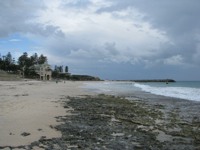
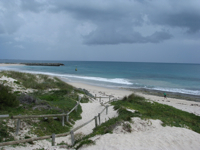
On my way back up to Perth I checked out the suburb of Cottesloe, which Bob said had a nice beach.
 |  |
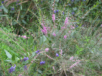
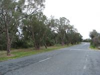
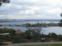
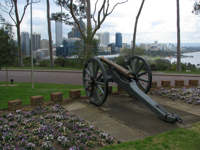
Then I briefly explored the massive Kings Park, a 400-hectare park in Perth city. I only had time to drive to a couple of the overlooks in the park, but I could've easily spent a lot more time in there. It's great when cities put such a priority on big parks and green space.
 |  |
 |  |

Then I picked up Bob from work and we made our way to the Brand Hwy (Hwy 1) heading north to Geraldton, about 4 hours away. Between the northern suburbs of Perth and Geraldton, there's pretty much nothing (a recurring theme in rural Western Australia, lots of nothing!). We got a little lost temporarily while trying to find the Brand Hwy -- we didn't really study a map closely because we figured there was pretty much only one road north out of Perth -- but it was all good. We stayed at a hostel in Geraldton, just in time to get to the neighboring Thai restaurant for dinner right before it closed. Geraldton is basically the last outpost of civilization for a few hundred kilometers north on Hwy 1 (north of Geraldton it's called the North West Coastal Highway).
W.A. travel tip #1: Stay supplied with snacks and water. When entering Geraldton from the south, there's even a sign warning travelers of limited water north of the town, and that they should therefore stock up on supplies.
Wed 18 Aug
Bob & I didn't spend much time in Geraldton, hitting the road north again in the morning on our way to Kalbarri National Park, a couple hours away.
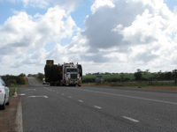
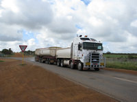
W.A. travel tip #2: Road trains really aren't that scary. In Bill Bryson's book, In a Sunburned Country he gave harrowing accounts of road trains, making them seem like these monstrous semis that take up most of the road. In reality they're pretty tame, just two semi trailers hitched together, for the most part. And they stay in their lane too. They're kind of long if you want to pass them, but overall they're not nearly as intimidating as I thought they'd be. The only thing on the road we had to pull over for was at the turnoff for Kalbarri, when a car motioned for us to get over to the shoulder; behind it was a massive mining dump truck being hauled on a trailer. It was HUGE.
 |  |
As we entered Kalbarri NP, we observed that the landscape inside the park didn't seem much different from the landscape outside it: acres of brush as far as the eye could see. Other than the few overlooks down side roads, there wasn't a whole lot to see in the inland portion of Kalbarri, yet there were "camera" signs and pull-offs periodically, which we whizzed by at 70 mph. We really couldn't figure out what was supposed to be picturesque from those pull-offs, because nothing looked any different from any other areas!
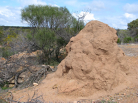
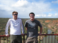
There were some really cool areas in Kalbarri NP, however. The first of these was called Hawks Head:
 |  |

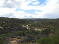
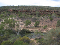
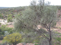
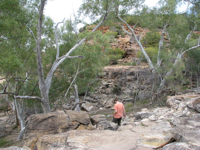
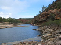
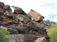
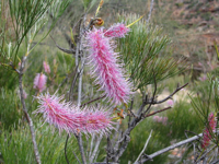
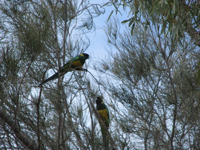
The second was called Ross Graham. Here we hiked down to the (mostly dry) riverbed of the Murchison River, and climbed up the cliffs on the other side. It was a neat place!
 |  |
 |  |
 |  |
 |  |
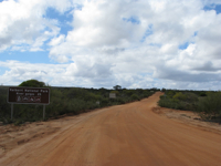
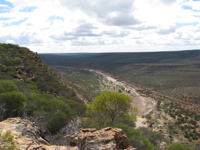
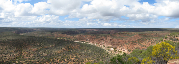
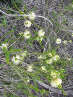
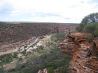
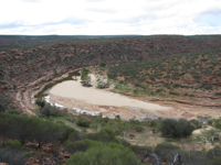
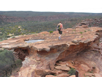
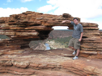
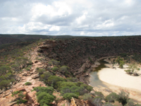
From there it was on to The Loop, which is 20-some kilometers down a dirt road from Kalbarri-Ajana Road (the only route through the park). There's a several-kilometer loop hike from the carpark there, but we didn't have time for that unfortunately. So we checked out Nature's Window (the most famous place in the park), and hiked a little bit further to enjoy some very nice views of the loop in the Murchison River.
 |  |
 |  |
 |  |
 |  |

From there we drove to Z Bend, but it was too far a hike from the carpark to the overlook; we needed to get back on the road if we wanted to make it four hours up to Monkey Mia before restaurants closed. We did manage to get to the resort a few minutes before the front desk closed, and the only food available was a small but kind of pricey pizza at the bar. Oh yeah, and $7 bottles of beer. What a deal!
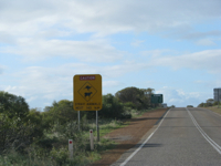
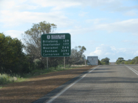
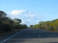
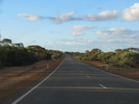
W.A. travel tip #3: You know you're in the middle of nowhere when there's not even a single dirt road for 140 km! Be prepared, it's incredibly barren out there.
 |  |
 |  |
In related travel tips...
W.A. travel tip #4: Petrol stations often close early, so don't let your petrol get too low! After the Billabong Roadhouse (more on that later), there was a couple hours of nothing until the next town, Denham. Our petrol light came on as we rolled into town, but we couldn't find a station that was open. So we stopped at a café and I asked the proprietor if there was an open petrol station in town. He looked at his watch, saw it was 7:30pm, and said, "Nope, sorry mate, they closed at 7." He said the "pump" in Monkey Mia, 25 km further down the road, was no doubt also closed. Anyway, we knew we could make it to Monkey Mia and fill up in the morning at the town/resort's only petrol pump -- we had to go into the gift shop to ask them to turn it on for us!
W.A. travel tip #5: Bring CDs or an MP3 player or something. Radio stations are scarce, and a cause for celebration when they come in. When a radio station faded out, we'd hit seek, and let it cycle through the frequencies for however long it took for another station to come in range (half an hour? an hour?). Unless the song was truly awful, we kept it on because it was preferable to silence. And with radio stations being rare, even "Dance, Baby, Dance" became listenable, haha.
W.A. travel tip #6: Keep your eyes peeled for local wildlife, feral or native. When renting my car from Hertz, I was warned not to drive in rural Western Australia at night, because "it's not a matter of if, but when you'll hit a kangaroo." We didn't see any wildlife on our first day/night of driving, but we saw some on the way from Kalbarri to Monkey Mia. Around the turnoff for Shark Bay Road (to go toward Denham and Monkey Mia), we saw quite a few feral goats near the road. And then as darkness was approaching we did see a couple of wallabies hopping around. Just enough to make us keep our eyes peeled constantly. Over the next couple days we also saw some sheep, kangaroos, and a shingleback on/near the road, but we managed to avoid hitting any of them.
[I had to break up this post into two parts. I guess I exceeded the character limit because of all the photos/links. Click here for Part 4b.]
Posted by Jared at October 8, 2010 11:05 PM